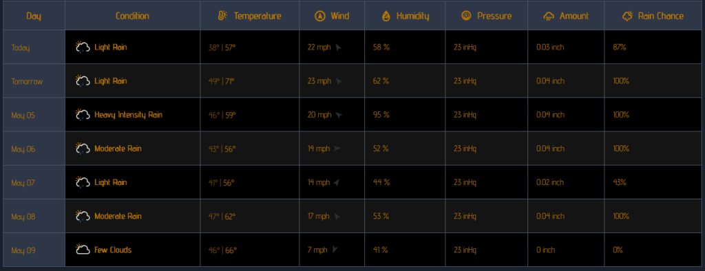
Monday/Tuesday Storms and colder temps
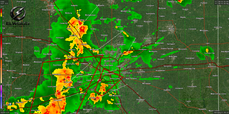
Monday kicks off the work week as our warmest day. Monday morning will remain dry and warm with temps climbing into the low 70’s. A late afternoon cold front could trigger some late evening thunderstorms and a wind/hail risk.
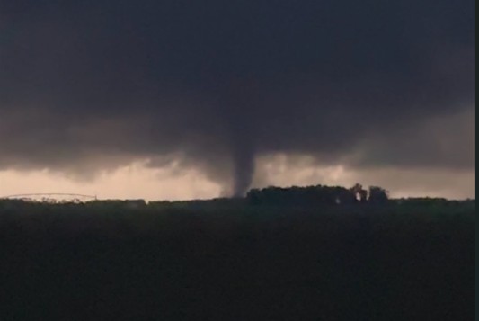
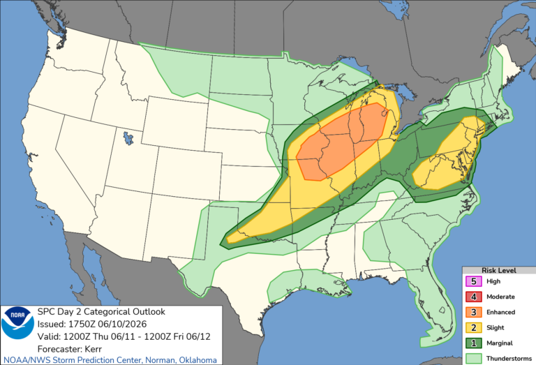
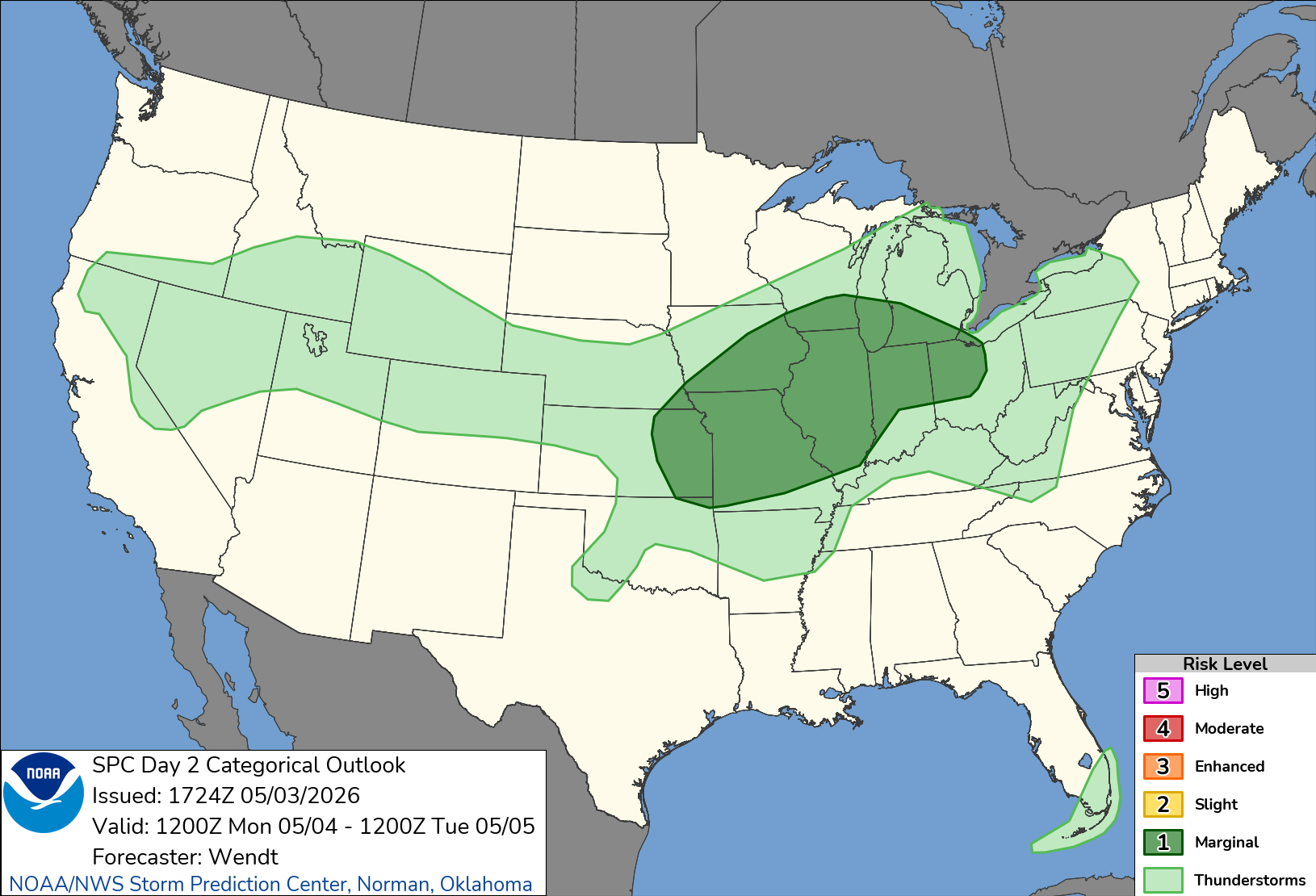
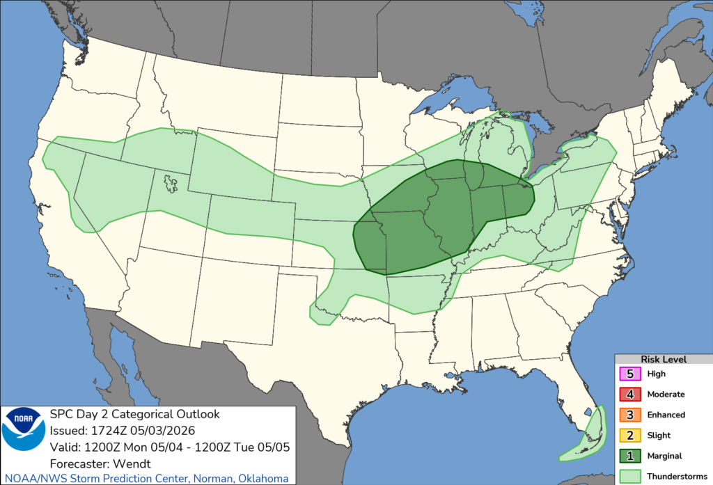
The NWS Storm Prediction Center has central Indiana in a Level 1 risk for sever storms on Monday evening.
A second round of widespread rain and thunderstorms will move in Tuesday afternoon and into the evening as a cold front pushes through. Once the cold front moves in on Tuesday, temps will remain below normal the rest of the week.