
Similar Posts
Strong T-storm building across IN
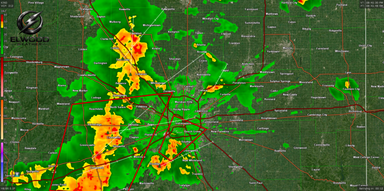
A line of strong thunderstorms is progressing NNE across the state and making its way towards Madison County and the City of Elwood. This band of storms is currently under a Severe Thunderstorm Warning in multiple counties West and South of Indianapolis. This storm is producing strong winds gusting to 65 mph, small hail and…
Fathers Day storm chances
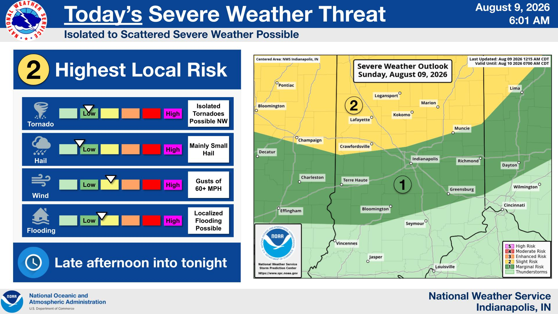
Chances for severe thunderstorms will return Sunday afternoon and continue Sunday night. Damaging winds and isolated tornadoes are the primary severe threats. Heavy rain and localized flooding are also possible.
Monday/Tuesday Storms and colder temps
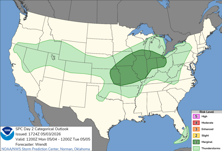
Monday kicks off the work week as our warmest day. Monday morning will remain dry and warm with temps climbing into the low 70’s. A late afternoon cold front could trigger some late evening thunderstorms and a wind/hail risk. The NWS Storm Prediction Center has central Indiana in a Level 1 risk for sever storms…
July 4th Forecast
Saturday, the NWS Storm Prediction Center, has Madison County under a level 1 risk of isolated storms with strong wind gusts. Large amounts of moisture in the atmosphere will likely bring brief heavy rainfall in the early evening, around 5pm. With a little bit of luck, these storms should push through prior to the 10pm…
Fall weather preview
No one can predict the future, and even the weather surprises us once in a while. With that said, there are ways to estimate what the Fall of 2026 may have in store for us here in small town Indiana. Fall 2026 in Elwood, Indiana is expected to be cooler than average in September, near-normal…
June 11 Tornado outbreak data
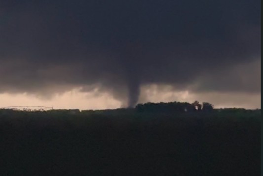
Tornado in Wanatah, IN
(@Zbarkerwx)